Cambooya Shire, an area of 638 sq km, in the eastern Darling Downs, was immediately south of Toowoomba.
The area was settled by Arthur Hodgson in 1840. He amassed a pastoral estate of 65,000 acres which he named Eton Vale, (the ruins of which are listed on the Queensland heritage register). From 1870 Eton Vale was progressively resumed under various Land Acts to enable closer-settlement, and while Hodgson was unable to resist this process, he was somewhat more successful in discouraging the settlement of towns on his run, thwarting the initial establishment of Cambooya after survey in 1843. Nevertheless, local development of the railway undermined his opposition. The opening of the line from Gowrie Junction to Warwick in 1869 and of a branch line from Wyreema to Pittsworth (1887) created railway sidings around which towns, including Cambooya, eventually formed.
Further subdivision of the Eton Vale Estate in 1903, and the opening of several local dairy and cheese factories, led to clearing of scrub and forest, intensification of farming and a sharp growth in population. Progress associations were formed and Cambooya Shire was proclaimed in 1914. Arthur Hoey Davis ('Steele Rudd') was elected the shire's first chair. Shire Council offices were opened in Greenmount in 1917.
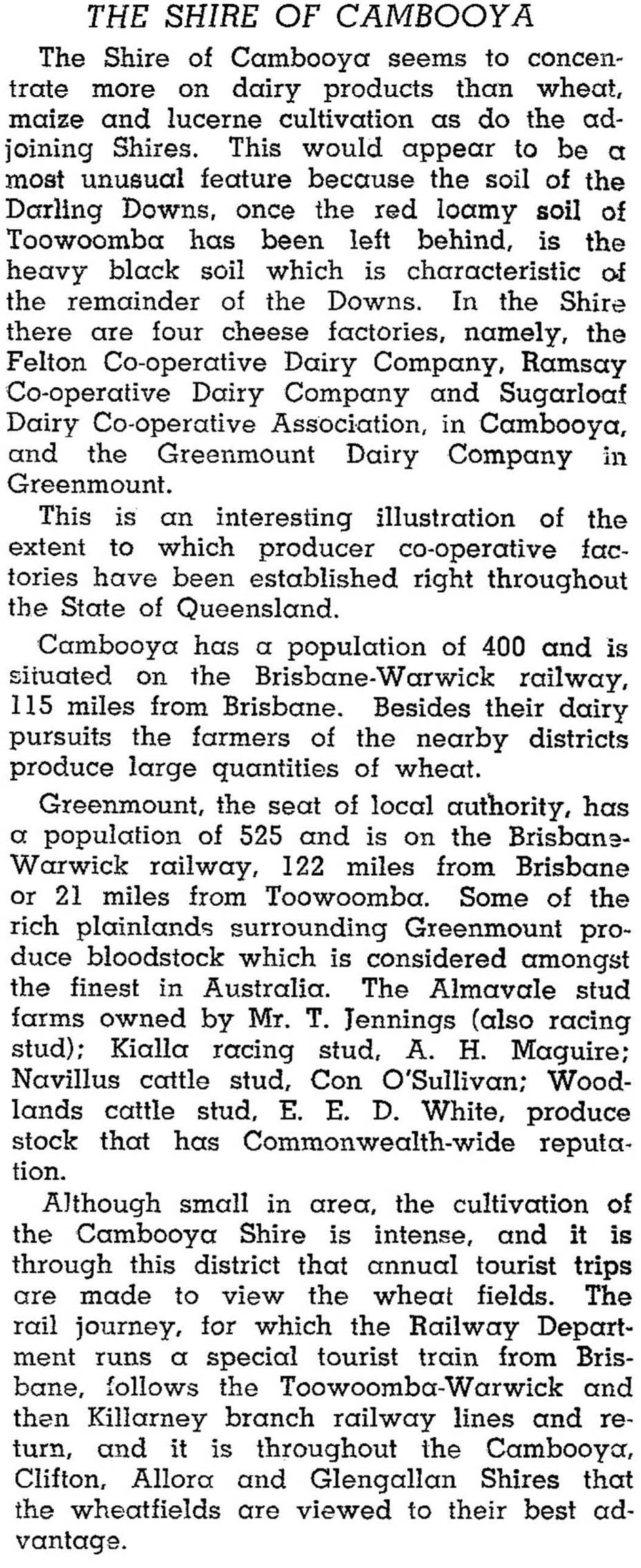
Land clearing opened up fertile farmland, equally suited to intense farming and weed pests. Prickly pear was one such pest, along with mint weed and burrs. Eradication was costly, particularly during the 1930s. Dairying recovered in the 1940s with high demand from American forces stationed in Queensland, and was a dominant industry by the end of the war. The 1946 Australian Blue Book described Cambooya Shire:

Since the 1980s the Shire's population more than doubled, mainly from Toowoomba's metropolitan overspill and the consequent enlargement of Wyreema, Cambooya and Greenmount as satellite towns. Population growth during the 2000s was expected to average 2.5% per annum. Farming diversified into pigs, poultry and vegetable growing. In 1993 dairy cattle numbered nearly 5000, beef cattle 107,000 and pigs nearly 11,000. Cereals, legumes and other crops took up nearly 15,000 ha.
In 2008 Cambooya shire was amalgamated with Toowoomba City and six other shires to form Toowoomba Regional Council.
Cambooya Shire's census populations were:
| Census Date | Population |
|---|---|
| 1921 | 1875 |
| 1971 | 1558 |
| 1986 | 2477 |
| 1996 | 4079 |
| 2001 | 4954 |
| 2006 | 5820 |
Rae Pennycuick, The Cambooya story, 1840-1990, Greenmount, Cambooya Shire Council, 1991
Cambooya, Greenmount, Nobby, Toowoomba Southern Localities, Westbrook and Wyreema entries
