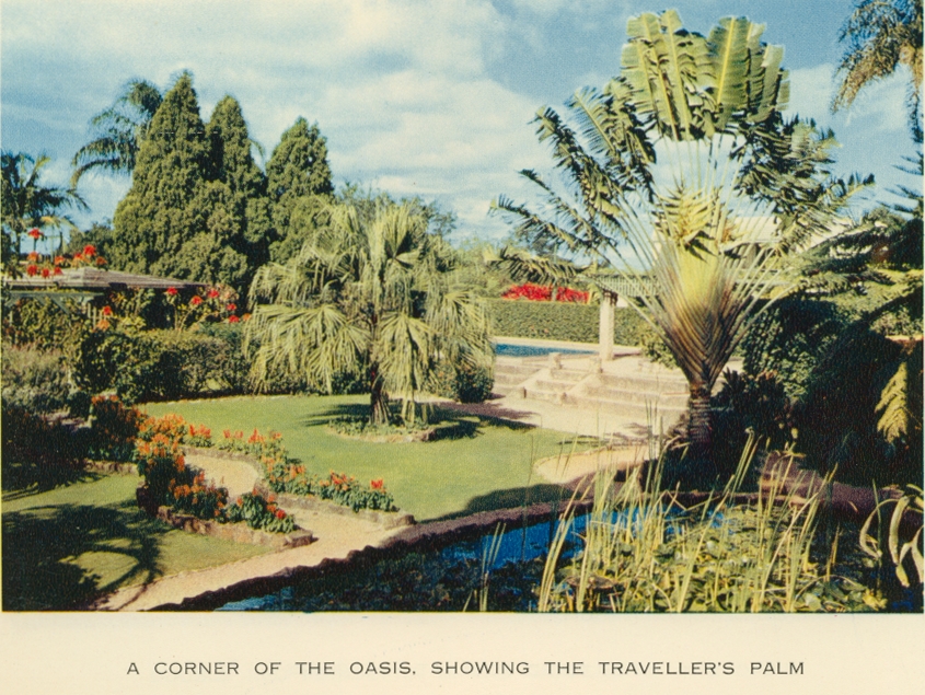
The Oasis, showing traveller's palm

Genre:
Headwords:
Year Created:
Contributor:
Publisher:

Sunnybank, a residential suburb which developed during the late 1950s and 1960s, is 12 km south of central Brisbane. It is situated between the upper reaches of the Rocky Water Holes Creek and the Bulimba Creek's western headwater. The South Coast railway (1885) and Beenleigh Road form a central axis through the suburb and Logan Road is to the north-east. Sunnybank was thus well positioned for marketing farm produce which included fruit and vegetables, cut flowers and nursery products.
Jim Lightfoot, Sunnybank, Brisbane, Australian Post Office, Public Relations Section, 1977
Copyright © Centre for the Government of Queensland, 2018. All rights reserved.
