Palmwoods, a rural township, is near the eastern foothills of the Blackall Range, 90 km north of central Brisbane and 17 km inland from Mooloolaba. Originally known as Merriman's Flat, the settlement's name was changed to Palmwoods when the North Coast railway opened. The uncleared scrub contained tall palm trees that could be split and used for guttering.
In the 1870s there was spasmodic farm-selection activity around Palmwoods, and a wave of new settlers in the Maroochy region in the 1880s led to tree clearing for rich farm lands for fruit crops. When the railway line was opened in 1891 Palmwoods became an important outlet for produce, particularly citrus and strawberries. It was the first opportunity for Palmwoods growers to sell on export markets. As nearby towns formed fruitgrowers' associations, Palmwoods fruitgrowers formed theirs in about 1899. Further expansion of farm lands led to an increase in banana growing, so by the 1930s Palmwoods' 328 growers constituted one of Queensland's largest banana growing areas. The Palmwoods Progress Association started in 1902.
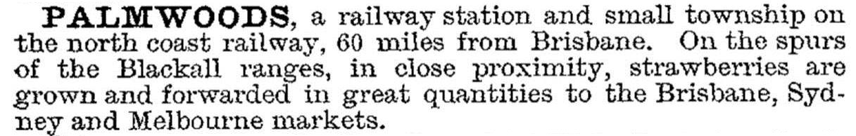
Palmwoods was described in the 1903 Australian handbook:
With a population of about 400 people, and another 300 in the intensively farmed hinterlands, Palmwoods had an active local shopping centre, several tradespeople and a memorial hall. Its population showed steady growth, except for a dip in the 1970s, and in the next two decades the numbers doubled. Palmwoods has a primary school (1889), a public hall, a showground, a sports ground, a swimming pool (1993), and two churches. It is surrounded by plantations and orchards. A housing estate is on the south-west of the town and the Eudlo Creek National Park is south-east. Census populations have been:
| Census Date | Population |
|---|---|
| 1911 | 340 |
| 1954 | 587 |
| 1971 | 451 |
| 1986 | 914 |
| 1996 | 1475 |
| 2001 | 2288 |
| 2006 | 3576 |
| 2011 | 5492 |
West of Palmwoods the terrain rises to the Blackall Ranges, and the intervening locality is named Hunchy. It was originally known as Hunchback, probably a reference to a prominent foothill. Hunchy had a primary school (1924-69), and in the 1930s there were about 20 banana growers, seven dairy farms and several mixed farms recorded in the Post Office directory. Farm numbers fell after the war.
Hunchy is a rural/residential locality with rainforest ridges. Razorback Road takes Hunchy to the edge of Montville's town area. Its census populations have been:
| Census Date | Population |
|---|---|
| 1911 | 50 |
| 1933 | 118 |
| 1954 | 65 |
| 2006 | 620 |
| 2011 | 524 |
Helen Gregory, Making Maroochy: a history of the land, the people and the shire, Brisbane, Boolarong with Maroochy Shire Council, 1991
Mollie Krebs et al, The Palmwoods story, Palmwoods, 1972
Palmwoods Queensland website


