Mount Morgan Shire, an area of 492 sq km south-west of Rockhampton, was formed in 1931 by the amalgamation of Mount Morgan town and parts of Calliungal and Fitzroy Shires (see separate entries). The shire was dominated by Mount Morgan, which even after the end of large-scale mining had 80% of the shire's population.
Large scale smelting required tons of firewood, and woodcutters moved through the landscape taking anything that served as fuel. Sulphur fumes had killed regrowth in numerous places. It was only since the 1930s that reduced sulphur fumes enabled greenery to reappear, and cultivated town greenery emerged as water bores and improved storages on the Dee River released town water for horticulture.
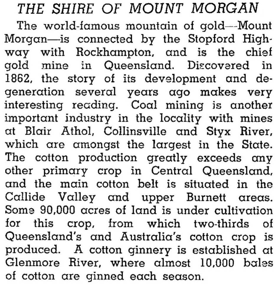
Mount Morgan Shire was described in the 1946 Australian Blue Book:
Mount Morgan Shire was small (492 sq km) for a place so remote, and was almost entirely contained within the Dee Range, of which the Mount Morgan hill was one part. In 2008 the shire was amalgamated with Rockhampton City and Fitzroy and Livingstone Shires to form Rockhampton Regional Council.
The Shire's census populations were:
| Census Date | Population |
|---|---|
| 1933 | 4404 |
| 1954 | 5060 |
| 1976 | 3467 |
| 2001 | 2864 |
| 2006 | 2984 |
Mount Morgan entry

